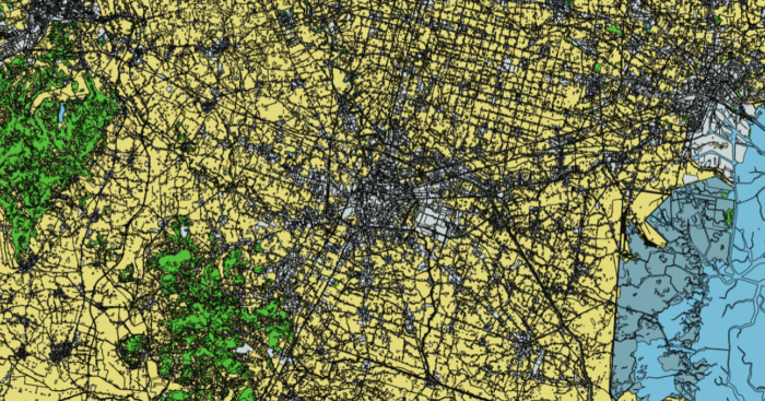
As part of the activities of the first semester, the best practices analyzed during the first LDD, hosted by Regione del Veneto, were published on the Interreg website:
- Integration of Satellite data in regional and local SDIs as reference for territorial planning
- Mapping and monitoring Urban Environment through Sentinel-1 SAR data
- Land deformation monitoring with integrated geomatic technique in the Veneto Region


